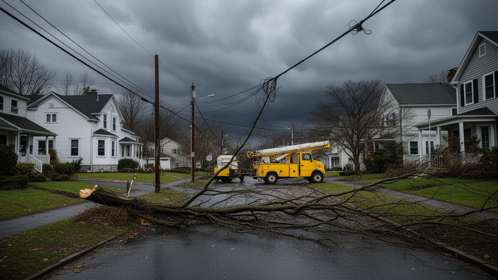
A significant 6.7 magnitude earthquake struck southern Peru today, centered 35 kilometers north of Coracora, sending shockwaves through the rugged Andean landscape. While the seismic event was substantial in scale, local authorities, including regional emergency management teams, report no initial casualties or catastrophic structural failures, though monitoring continues as aftershocks remain a possibility.
Geological Analysis of the Coracora Tremor
The earthquake, occurring in the Ayacucho region, is a potent reminder of the volatile tectonic environment that defines Peru’s geography. The Nazca Plate, which is continuously subducting beneath the South American Plate, is the primary driver of this seismic activity. This subduction zone creates an immense amount of stored energy, which, when released, results in the significant tremors that characterize this part of the Andean cordillera.
The Nazca Plate Dynamics
Understanding the context of this event requires looking at the collision interface. The Nazca Plate is diving eastward into the Earth’s mantle at a rate of approximately 6 to 8 centimeters per year. This convergence is not smooth; it is characterized by ‘stick-slip’ behavior where friction locks the plates together until the accumulated stress exceeds the rock’s strength, causing a sudden rupture. The 6.7 magnitude intensity recorded near Coracora suggests a significant rupture length, yet the depth of the hypocenter likely played a crucial role in mitigating the surface acceleration experienced by the local population. When earthquakes occur at greater depths, the energy dissipates across a larger volume of crust before reaching the surface, which explains why the initial reports show a lack of widespread structural collapse.
Seismic Preparedness in Rural Peru
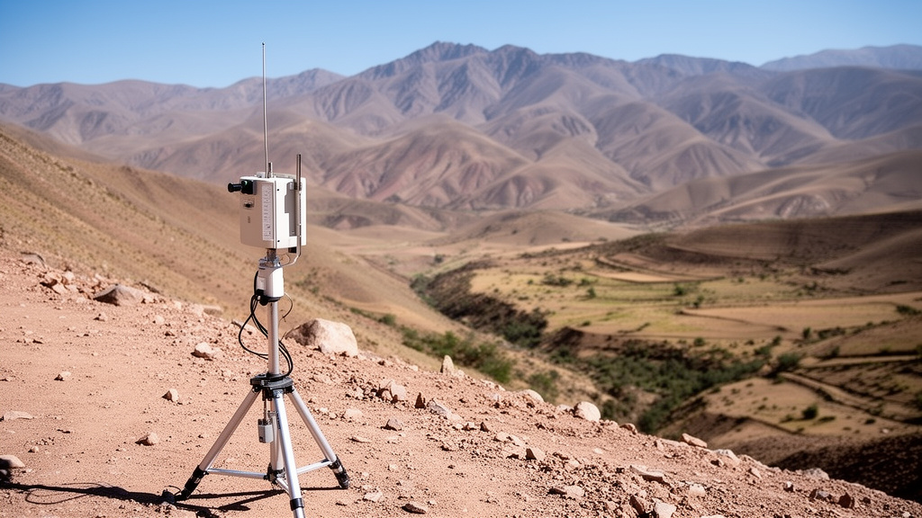
While major urban centers like Lima are often the focus of seismic infrastructure discussions, rural regions like Coracora present unique challenges. Infrastructure in these high-altitude Andean environments is traditionally built with materials meant to withstand local climate variations rather than high-magnitude seismic loads. However, there has been a concerted effort by national entities to implement building codes that account for the region’s seismicity. The resilience shown in the initial assessments indicates that while some older, adobe-style constructions may be vulnerable, the modern core infrastructure appears to have held firm. The Instituto Geofísico del Perú (IGP) has been pivotal in deploying monitoring stations throughout this remote region, allowing for rapid assessment of ground acceleration and the dissemination of alerts that help emergency services prioritize their responses.
Infrastructure Resilience and Economic Impact
The economic implications of an earthquake of this magnitude in southern Peru are non-trivial. The region is home to essential logistics routes and, in neighboring provinces, significant mining operations. An earthquake of 6.7 magnitude could potentially disrupt supply chains or damage critical infrastructure such as water pipelines or power grids, even if it doesn’t cause human casualties. The current assessment phase is crucial, as the government must now ensure that remote transportation arteries remain open for the delivery of supplies and potential medical aid. Furthermore, the mining sector, a cornerstone of the Peruvian economy, will likely have conducted its own internal structural audits to ensure that tailing dams and extraction shafts remain stable following the seismic waves. If these systems prove resilient, it would signal a massive success in engineering standards adopted by major regional industries over the last decade.
FAQ: People Also Ask
Were there any reported injuries or structural damage?
As of the latest reports from local authorities, there are no initial casualties. While assessment teams are still inspecting the region surrounding the epicenter 35km north of Coracora, major structural failures have not been reported. It is standard protocol to continue structural monitoring for several days to identify hairline fractures or delayed instability.
Why is the Ayacucho region prone to such earthquakes?
The Ayacucho region, like much of western South America, sits above the subduction zone where the Nazca Plate is thrusting beneath the South American Plate. This geological process creates constant tectonic stress, making the region one of the most seismically active zones on the planet.
What immediate steps are authorities taking?
The Instituto Geofísico del Perú (IGP) and regional emergency agencies are maintaining 24/7 monitoring for aftershocks. They are currently performing ground-level inspections in communities closest to the epicenter to ensure that even minor infrastructure, such as rural homes or water storage facilities, remains safe for occupancy.
Should residents in Coracora expect more shaking?
Aftershocks are common following a 6.7 magnitude event. While the main shock has passed, seismologists warn that smaller tremors are likely in the coming days. Residents are advised to stay away from damaged or weakened structures and remain updated via official government communications.